Whether you're new to running, looking for new places to run or have to increase your mileage due to training, knowing where is good to run can make all the difference to how much you enjoy it.
This is when planning a route before you head off can make all the difference. If you're happy to run around the local park as many times as needed, then all the power to you, but adding a bit of variety to your running routes will not only help break up the run, but allow you a chance to explore.
Most of the below apps will allow you to send, download or favourite a gpx file, which you can also send to your running watch if it’s compatible, giving you turn-by-turn navigation. Check out our list of the best GPS watches to find some suitable options.
Below are some of the better online tools and apps that will come in handy for plotting routes.
Komoot
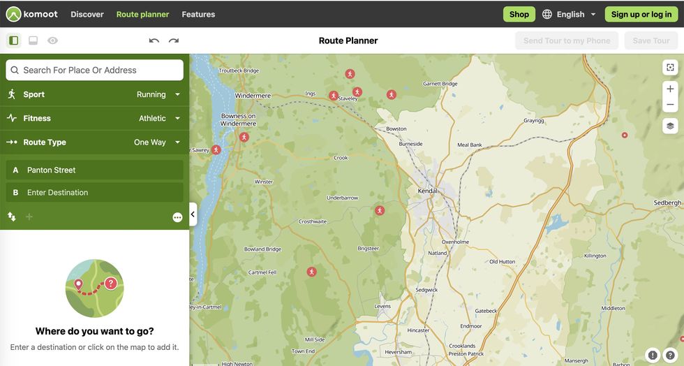
Komoot has had great success with cycling routes and the same can now be said with running route planning. The app and online platform allows you to enter a start and finish point and then generates a route using what it computes to be the most logical/sensible route. A nice touch with Komoot is that other users can add highlights (quiet lanes, cafes, toilets etc) and you can then add these to your route, to enhance your run. You just need an account to save a route, and there is a premium offering if you want to take it a stage further.
Strava
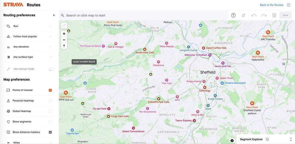
Available as part of the subscribers package, the constantly evolving routes tool (it shows 3D terrain now) is very useful if you're already using the app. Select running from the activities, how far you’d like to go, the surface you want, most direct or not, flat etc and Strava will suggest a number of routes near you, based on where other runners have been. While you can’t tell Strava to avoid the park, this is a good way to see running routes you might not have explored.
O.S Maps
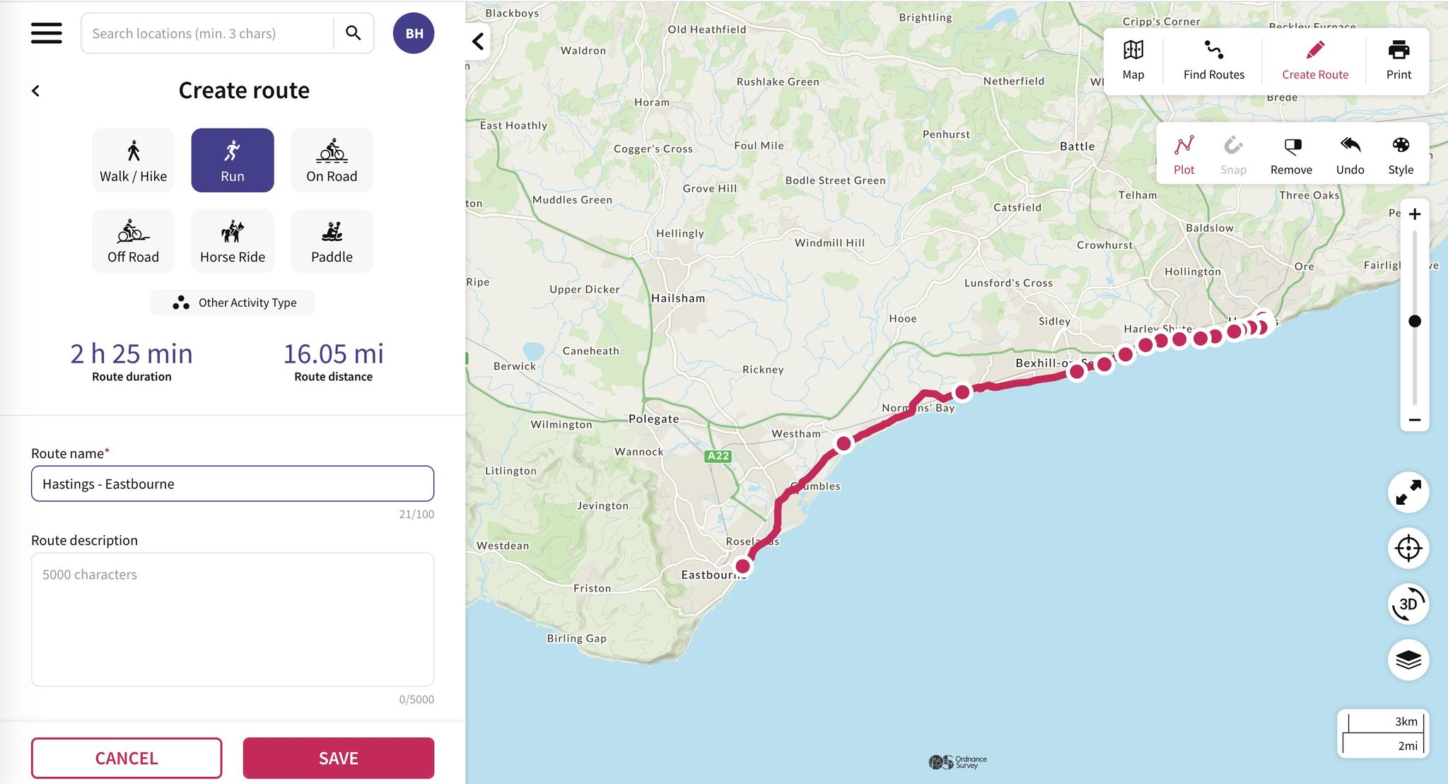
For those who live in rural areas – or want to explore them – the Ordnance Survey (OS Maps) is the best for finding those forgotten bridleways as well regular routes. There is a free version, but you’ll need a subscription to get some of the better features including premium topo maps (you want those), but once you're logged in then the countryside is yours to explore, be it running, walking, cycling or even horseriding.
You can export the routes and, if you do it by the app, you can send it directly to other apps, too. Very handy.
Plotaroute.com
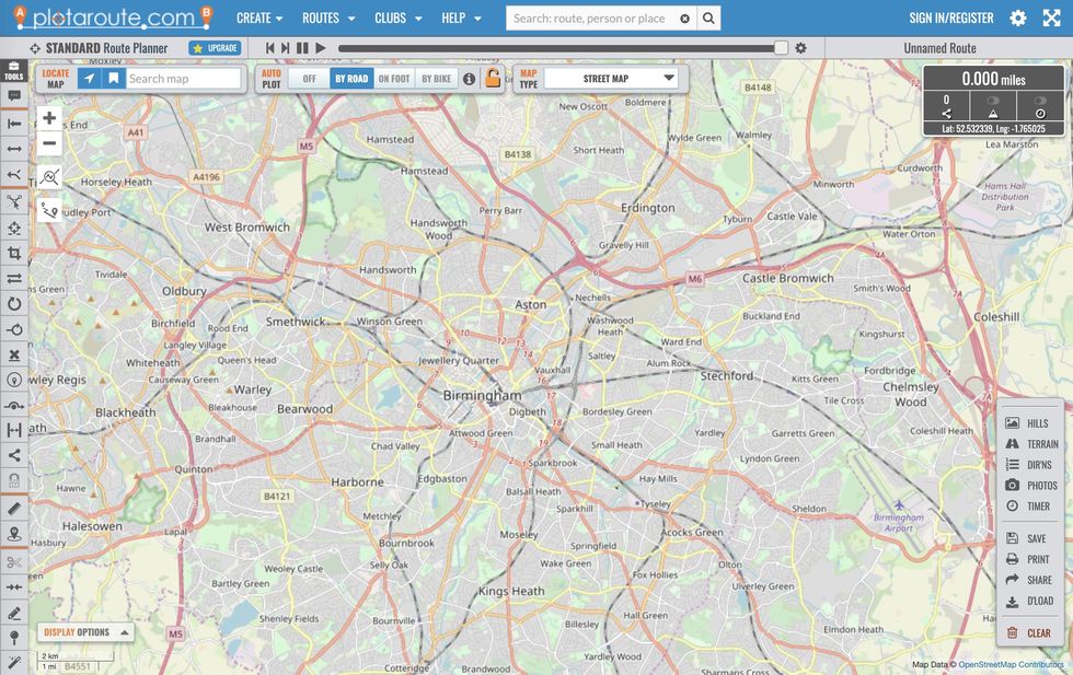
Similar to Strava, but with a considerable amount of features (some free, some premium), this is simple route-plotting tool that works best on your laptop. As you plot the route, it’ll work out the distance of your run and give you the option to input your running speed, allowing the programme to work out how long the route should take you. If you sign up and create an account, you can save the route to your phone and upload it to your preferred running app, although this can be a little fiddly.
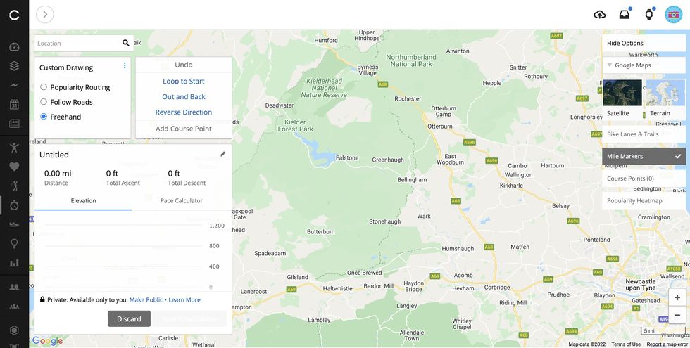
Garmin Connect
If you're a Garmin user, then you can create routes (courses) in Garmin connect. The app allows users to generate a basic loop route based on popular routes and a set distance, but the desktop version is far more comprehensive, so you can map to you heart's content and have it sync automatically to your watch. Winner!
